The Jefferson Grid, un proyecto geométrico.
(Bolivia)
(Redmon, Oregon)
 | Aeropuerto de Chicago |
Pecos, Texas. |
Florida |


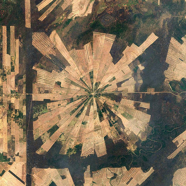
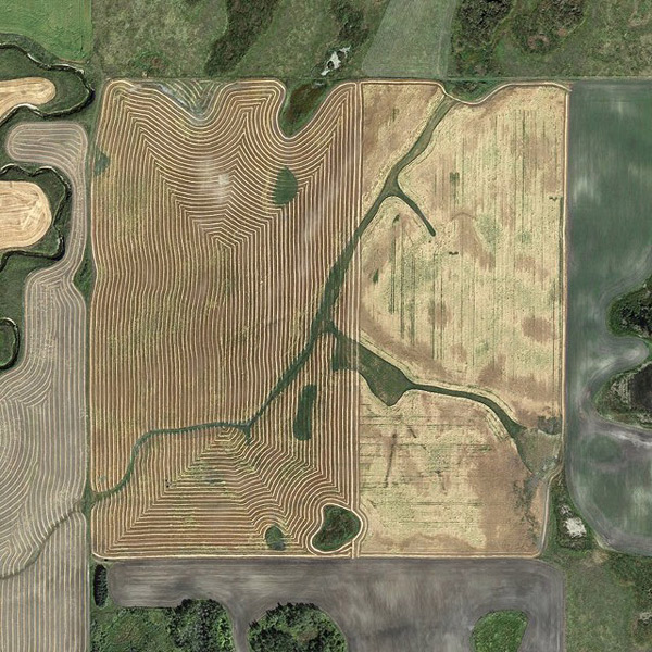
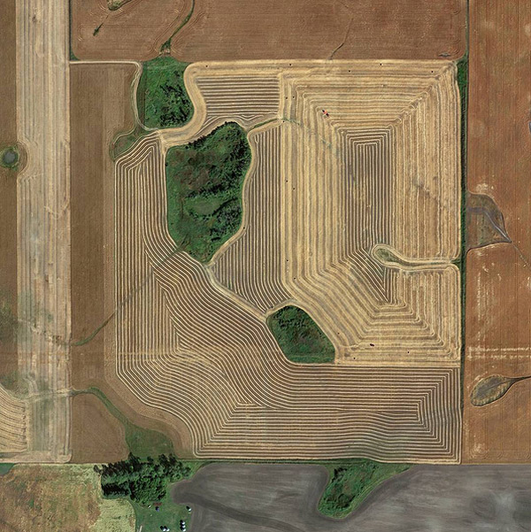
The Jefferson Grid es un proyecto para crear imágenes geométricas de una milla cuadrada, tomadas de Google Earth. AMJ
(Bolivia)
(Redmon, Oregon)
| Aeropuerto de Chicago |
Pecos, Texas. |
Florida |
The Jefferson Grid es un proyecto para crear imágenes geométricas de una milla cuadrada, tomadas de Google Earth. AMJ
0 comentarios